Half Marathon
The Half Marathon Trail Run commences at the bottom of lot B, where participants will be directed to park. Runners will exit the parking lot onto pavement, covering approximately 0.9 miles before turning right onto the first dirt road (picnic loop). After about 0.3 miles, they'll transition onto the Overlook Trail, heading left. The route includes segments on Canyon Rim Trail (1.6 miles), FAR Out (approximately 1 mile), Canyon Vista (0.7 miles), S'Mores (0.7 miles), Dream Weaver (1.8 miles), under the road to Made in the Shade (3.3 miles), Twisted Cistern (1.6 miles), parking lot (0.8 miles), and finally across the Bridge for 0.25 miles to the EPIC FINISH!

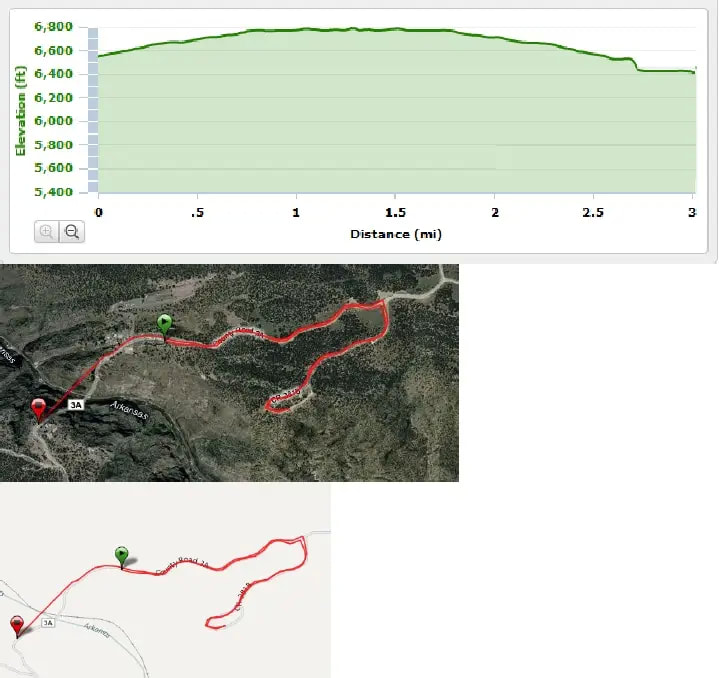
8 Mile Trail Run
The 8-mile trail run begins at the bottom of Parking Lot B. Trail runners will follow the same initial path as the 5K participants, running on the paved road out of the park for about 0.7 miles. They'll then turn left to join the Twisted Cistern Trail for 1.6 miles before transitioning to a 3-mile loop on the Made in the Shade Trail. Returning to the Twisted Cistern, they'll head back to the starting point and continue running towards and over the Bridge to the FINISH LINE! A trail map will be available soon.

5K Run
The 5K race begins in Parking Lot A at the Royal Gorge Bridge & Park. Runners will start on a paved road leading out of the Park, covering approximately 0.7 miles uphill. After that, they'll turn right onto a dirt road looping through a picnic area. Participants will be turned around before completing the full picnic loop and will then backtrack to the paved road. Returning to Parking Lot A, they'll go to the left of the ticket booths at the Main Gate of the Royal Gorge Bridge & Park, and then cross the Bridge for 1/4 mile to the FINISH LINE!